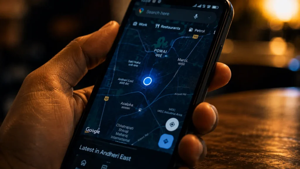
I still remember the first time I got genuinely curious about this. I was hiking near Manali a few years ago, completely off any marked trail, and my phone still showed my exact position on a blank map with no signal bars at all. No internet, no cell tower nearby, yet a little blue dot knew precisely where I was standing on a mountainside. That moment stuck with me, because it revealed something most of us never think about. Your phone is not asking anyone where you are. It is doing the math itself, using signals from space.
As someone who has spent years writing about consumer technology, I have come to appreciate that GPS is one of the most elegant pieces of engineering most people carry in their pocket and never truly understand.
It Starts With Satellites, Not Towers
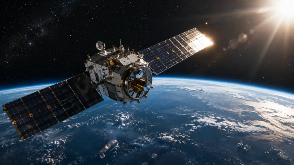
The Global Positioning System relies on a constellation of at least 24 active satellites, though the U.S. maintains around 31 for redundancy, orbiting roughly 20,200 kilometers above Earth. Each satellite continuously broadcasts a radio signal containing two crucial pieces of information: its own precise position in orbit, and the exact time the signal was sent, tracked by an atomic clock accurate to within nanoseconds.
Your phone’s GPS chip does not need to send anything back up to space. It simply listens. This is why GPS works even in places with zero cell signal, as long as the receiver has a clear line of sight to the sky.
The Real Trick Is Timing, Not Triangulation
Most people assume GPS works like triangulation, drawing lines from multiple towers to find a point. The actual process is closer to something engineers call trilateration, and the key ingredient is time, not angles.
Radio signals travel at the speed of light, roughly 299,792 kilometers per second. When your phone receives a signal from a satellite, it calculates how long that signal took to arrive by comparing the timestamp embedded in the signal to its own internal clock. Multiply that tiny travel time by the speed of light, and you get the exact distance between your phone and that satellite.
One satellite alone only tells you that you are somewhere on a giant sphere around it. It takes measurements from at least four satellites simultaneously for your phone to narrow that down to a single point in three dimensional space, your latitude, longitude, and altitude.
I once spoke with a navigation engineer at a mapping company in Bengaluru who explained it using a simple picture. Imagine three overlapping circles drawn on a table. Where all three edges cross is your exact spot. GPS does the same thing, just with spheres in space instead of circles on paper.
Why Your Phone Needs Such Extreme Precision
Here is the part that genuinely impressed me when I first researched it. Because signals travel at the speed of light, even a tiny timing error creates a huge distance error. A clock off by just one microsecond translates to a position error of roughly 300 meters.
This is why satellites carry atomic clocks, and it is also why a strange side effect of physics has to be corrected constantly. Satellites orbit fast enough, and sit far enough from Earth’s gravity, that Einstein’s theory of relativity actually affects their clocks. Time runs very slightly faster for them compared to clocks on the ground. GPS engineers built in a correction for this from day one, without which your location could drift off by kilometers within hours.

Your Phone Does Not Work Alone
Modern smartphones rarely rely on satellite signals by themselves. They combine GPS with additional data sources to speed things up and improve accuracy. This is often called Assisted GPS, or A-GPS.
When you have an internet connection, your phone can quickly download satellite position data instead of waiting to receive it directly from the satellites themselves, which can otherwise take up to thirty seconds. Your phone also cross references nearby WiFi networks and cell towers, since databases already know roughly where those are located. Indoors, where satellite signals are weak or blocked entirely, this blended approach is often the only reason your map app still shows a reasonably accurate dot.
Accuracy Has Limits, and Errors Are Predictable
Even with all this precision, consumer GPS typically narrows your location to somewhere between three and five meters under open sky. Tall buildings, dense forest cover, and cloud cover can all bend or block signals slightly, a problem engineers call multipath interference, where the signal bounces off a surface before reaching your phone.
This explains why your GPS dot sometimes jumps oddly when you are walking through a city with tall buildings on either side, a phenomenon often nicknamed the urban canyon effect.
Putting It All Together
Your phone’s blue dot on the map is really the result of four things working together. A network of satellites constantly broadcasting time stamped signals. A receiver chip calculating distance based on how long each signal took to arrive. Simultaneous measurements from at least four satellites to pinpoint an exact spot in three dimensions. And often, a helpful boost from WiFi and cell tower data to speed the whole process up.
It is easy to take for granted, but the next time your phone finds you instantly on a hiking trail with zero signal bars, remember there are satellites moving at nearly 14,000 kilometers per hour overhead, each one carrying a clock precise enough to notice the effects of relativity, quietly working together just so you can find your way.
Read also this: Why Every Credit Card Tap Takes Less Than One Second
Read also this: How NFC Payment Security Actually Works
© AiwalaNews | Global Tech & Privacy Edition | April 2026
