
This article is based on HowStuffWorks submarine navigation documentation, Naval Post engineering analysis, BGR’s April 2026 technical reporting, Lockheed Martin’s published inertial navigation system documentation, and US Navy operational records. This is an educational explainer.
A nuclear submarine leaves port. It dives. For the next three months, it will travel thousands of miles through total darkness, with no GPS signal, no radio contact, no ability to see stars or sun — and it will know its exact position at every moment, accurate to within 100 feet.
That capability isn’t magic. It’s one of the most elegant pieces of physics-based engineering ever deployed in a military system. And understanding it changes how you think about navigation entirely.
Why GPS Doesn’t Work Underwater
The problem starts with physics that can’t be engineered around.
GPS signals cannot penetrate seawater efficiently, forcing submarines to surface periodically or deploy masts near the surface to recalibrate navigation data. The effect is so severe that a submarine operating at even minimal depths becomes completely isolated from GPS satellites this issue affects not just GPS but similar services like GLONASS, Galileo, and China’s BeiDou as well.
Salt water is an extraordinarily effective barrier to electromagnetic signals. The radio frequencies GPS uses are absorbed by seawater within a few meters of the surface. A submarine at operational depth typically 200 to 500 meters is as completely cut off from satellite navigation as if satellites didn’t exist.
So the question becomes: how do you know where you are when you can’t see anything, can’t receive any signals, and can’t reference any external landmark?
The answer is pure mathematics applied through a system called the Inertial Navigation System.

The Inertial Navigation System: Dead Reckoning Taken to Its Extreme
Submarines carry an Inertial Navigation System (INS), which measures the boat’s motion and constantly updates position. Because it does not rely on radio signals or celestial sightings, it allows the submarine to navigate while remaining hidden under the surface.
The INS uses accelerometers and gyroscopes to keep track of the submarine’s position in relation to its starting point.
Here’s how it works in practice. Before diving, the submarine gets a precise GPS fix on the surface an exact latitude and longitude stored in the navigation computer. The moment it dives, that starting position becomes the anchor point for everything that follows.
The accelerometers extraordinarily sensitive instruments measuring changes in velocity detect every movement: forward, backward, left, right, up, down. The gyroscopes spinning masses that resist changes in orientation detect every turn, every pitch, every roll. These measurements flow into a computer continuously, integrating acceleration over time to calculate velocity, and integrating velocity over time to calculate position.
Every course change or speed change is added to the navigation calculation, updating the submarine’s position continuously. The SINS Ship’s Inertial Navigation System console provides a printout that navigation teams update at least once every watch.
The fundamental principle is the same as maritime dead reckoning the ancient practice of calculating position from a known starting point using speed, direction, and time. The INS does this with instruments sensitive enough to detect accelerations measured in millionths of a gravitational unit, updating thousands of times per second.
The Problem: Drift
The INS works beautifully — for a while. Then a fundamental limitation appears: drift.
The inertial guidance systems are accurate to 150 hours of operation and must be realigned by other surface-dependent navigational systems GPS, radio, or radar. A submarine can be accurately navigated and be within 100 feet of its intended course.
Every accelerometer and gyroscope has minute manufacturing imperfections. Tiny errors accumulate over time a microscopic measurement error repeated thousands of times per second becomes a meaningful positional error over hours and days. Without correction, a submarine that has been submerged for weeks would gradually drift from its true position.
The solution is periodic correction and how submarines do this without surfacing is one of the cleverer aspects of the system.
How Submarines Correct Position Without Surfacing
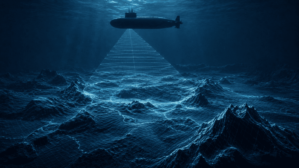
Sonar systems can be used to realign inertial navigation systems by identifying known ocean floor features.
The ocean floor is mapped in extraordinary detail by naval hydrographic services. Every mountain range, valley, and plateau on the seabed has a known position. A submarine using its passive sonar to profile the terrain below can compare what it detects against stored maps identifying its position from the seabed geography the way a hiker might identify their position from mountain silhouettes.
For missions requiring the absolute highest positional accuracy particularly ballistic missile submarines, which need to know their precise location before launching weapons the correction method is more direct.
The Electrostatic Gyroscope Navigator (ESGN) enables ballistic missile submarines to navigate precisely underwater for long distances and long durations, accurate enough to launch intercontinental missiles with pinpoint accuracy. It was Rockwell Autonetics that designed the inertial navigation system enabling USS Nautilus to navigate safely underneath Earth’s polar ice cap in 1958.
The requirement for missile-launch accuracy is extraordinary an error of even a few hundred meters in the submarine’s known position translates to a miss at intercontinental range. The navigation systems on ballistic missile submarines are among the most precise inertial systems ever built.
The 2026 Arms Race: Navigation Without Ever Surfacing
GPS signals cannot penetrate seawater, forcing submarines to surface periodically or deploy masts near the surface to recalibrate navigation data. These moments create vulnerabilities that adversaries can exploit which is why China has invested heavily in quantum technologies and alternative navigation systems designed to operate independently of satellite networks. China’s advance in nuclear clock technology could allow future submarines to navigate with extreme precision without GPS, potentially challenging US Navy anti-submarine warfare dominance.
The strategic implication is significant. Modern anti-submarine warfare partly depends on predicting when submarines must surface or raise a mast that moment of vulnerability creates a detectable signature. A submarine that never needs external navigation correction is a submarine that never needs to expose itself.
The nuclear submarine’s navigation problem how do you know where you are when everything that normally tells you is unavailable turns out to have a profound answer rooted in Newton’s laws of motion. If you know where you started, and you measure every acceleration precisely enough, you always know where you are.
For 150 hours, that math is accurate to 100 feet across thousands of miles of ocean. That’s not just engineering. That’s physics doing something remarkable.
© AiwalaNews | Global Tech & Privacy Edition | May 2026
Read Also:
- 🔗 How Google Maps Knows There’s a Traffic Jam Before You Hit It
- 🔗 How One Small Country Controls 90% of the World’s Most Critical Tech Component