This article is based on Google’s own published documentation, official blog posts, and verified technical research. Where the mechanisms are documented by Google directly, that is noted.
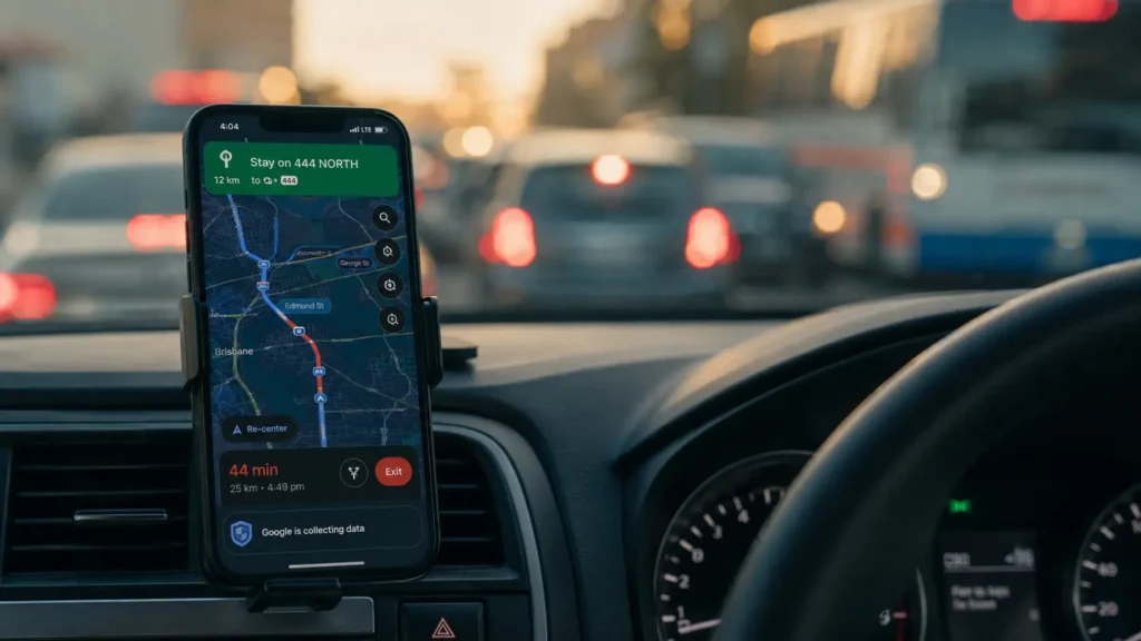
You’re fifteen minutes into a drive. The road ahead looks clear. Google Maps reroutes you without explanation takes you down a side street you’d never choose yourself. Three minutes later, you pass a highway entrance and see brake lights stretching back as far as you can see.
Google knew. Before you got there. Before most of the people sitting in that jam even arrived.
In early 2026, Google Maps surpassed 2 billion active users one in four humans on Earth trusting the same app to get them where they need to go. The question most of them never think to ask is: how does it actually know what the road looks like right now, and what it will look like in twenty minutes?
The answer is a four-layer system that is more sophisticated and more dependent on you than most people realize.
Layer 1: You Are the Sensor
Every phone running Google Maps with location permissions enabled is a live data point on a city-wide traffic map. This is the foundation everything else builds on.
When people navigate with Google Maps, aggregate location data can be used to understand traffic conditions on roads all over the world.
Every time you open Google Maps, your phone becomes a tiny data source. It sends anonymous location data to Google along with millions of other people using Maps at that moment. If cars on a highway are moving at normal speed, Google assumes traffic is clear. If a large number of cars suddenly slow down or stop, Google detects a traffic jam and marks that road as congested. Every few minutes, Google Maps refreshes its traffic information to make sure it reflects the most up-to-date conditions.
You don’t need to report anything. You don’t need to tap a button. The simple fact that your phone is moving or has stopped moving at a certain speed on a certain road tells Google everything it needs to know about that road right now.
Scale that signal across millions of simultaneous users and you have a real-time sensor grid covering nearly every road in every city on Earth, updating every few minutes, maintained entirely by people who think they’re just getting directions.
Layer 2: History as Prediction
Real-time data tells Google what traffic looks like now. But your route takes you somewhere you won’t arrive for another twenty minutes. What happens to the roads between here and there in the meantime?
To predict what traffic will look like in the near future, Google Maps analyzes historical traffic patterns for roads over time.
If a highway always slows down at 8 AM on weekdays, Google already knows there will be delays tomorrow. Morning rush hour versus evening rush hour predictable weekly patterns. This is why Google can warn you about traffic that hasn’t started yet.
Google’s machine learning models analyze historical patterns, weather forecasts, local events, and even school schedules to predict what traffic will look like when you actually arrive at each point along your route.
This historical layer is what allows Google Maps to show you a traffic warning for a road you’re not on yet and won’t reach for half an hour. The model isn’t reading the road it’s reading the pattern, built from years of data showing exactly what happens on that specific road on a Tuesday morning in May when it’s raining.
Layer 3: The Human Reports Waze
The first two layers are passive — they process what phones automatically send. The third layer is active: what people deliberately tell the system.
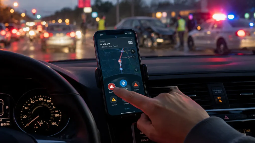
With its acquisition of Waze in 2013, Google added a human element to its traffic calculations. Drivers use the Waze app to report traffic incidents including accidents, disabled vehicles, slowdowns, and speed traps. These real-time reports appear as individual points on Google Maps, with small icons representing construction signs, crashed cars, or speed cameras.
A speed reduction in aggregate phone data tells Google there’s a problem on a road. A Waze report tells Google what the problem is an accident on the left shoulder, a broken-down truck blocking the right lane, a pothole that’s forcing everyone into one lane. The two signals together produce significantly more actionable intelligence than either could alone.
Google also uses official data from road authorities. Transport agencies including London’s Metropolitan Police and Transport for London provide real-time data about road conditions directly to Google, allowing the system to flag congestion before user reports even begin to accumulate.
Layer 4: AI That Reroutes in Real Time
The data collection is impressive. What Google does with it is where the real engineering lives.
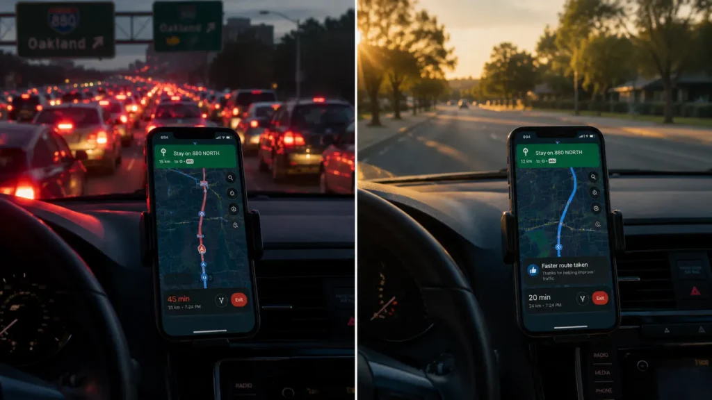
Google Maps uses AI-driven automatic detour calculations dynamically identifying and recommending alternative routes in real time, ensuring drivers can avoid sudden traffic-related issues. By leveraging AI, Google Maps can assess changing road conditions instantly and suggest the best possible detours to minimize delays.
Say you’re heading to a doctor’s appointment, driving down your usual route. Traffic is flowing freely when you leave. With Google Maps’ traffic predictions combined with live conditions, it tells you that if you continue on your current route, there’s a good chance you’ll hit unexpected gridlock 30 minutes into your ride which would mean missing your appointment. Google Maps automatically reroutes you using its knowledge about nearby road conditions and incidents, helping you avoid the jam altogether.
The AI systems behind real-time traffic updates are self-improving as more data becomes available, the algorithms get better at predicting and managing traffic flows.
The rerouting itself is a constrained optimization problem: find the fastest path to the destination given current conditions, predicted conditions along every possible route, and the behavior of every other driver currently being routed by the same system. Google runs this calculation continuously, updating it as conditions change, for two billion users simultaneously.
The System’s Limits
This architecture has genuine weaknesses worth understanding.
Accuracy depends entirely on user density. If Google Maps doesn’t have enough data to estimate traffic flow for a particular section of road, that section appears in gray on the traffic layer. Rural roads, new roads, and roads in low-smartphone-penetration regions can be significantly less accurate than city corridors. invezz
As more drivers use the app, traffic predictions become more reliable because Google Maps can look at the average speed of cars traveling the same route without misinterpreting someone’s morning coffee stop as a traffic jam. The system gets smarter with density which means it’s most accurate exactly where it’s most used.
What This Actually Is
Strip away the technical details and what Google Maps is doing is this: it turned every smartphone into an anonymous traffic sensor, combined those sensors into a city-wide real-time map, layered years of historical pattern data on top, added human incident reports and official government feeds, and runs a continuous AI optimization to find the fastest path through all of it.
The red line you’ve been trusting for years is the output of that entire system running continuously, invisibly, on the device in your pocket.
Next time Google reroutes you without explanation: trust it. The system saw something you didn’t.
© AiwalaNews | Global Tech & Privacy Edition | May 2026
Read Also:
- 🔗 How Your Bank Knows It’s Not You Within 0.3 Seconds of Login
- 🔗 How Uber Knows You’ll Accept a Higher Price Before It Shows It to You
