You are standing on a ridge in the Wyoming backcountry. No phone signal. No cell tower within 200 miles. The nearest Wi-Fi is in a town you left three hours ago. You pull out your phone, open your mapping app, and a blue dot appears precise, confident, accurate to within a few metres.
Most people assume GPS needs an internet connection. It does not. It does not need a cell tower. It does not need Wi-Fi. It does not need anything on the ground at all.
What it needs is the sky. And the sky in the middle of nowhere is the one thing you always have.
What GPS Actually Is
GPS the Global Positioning System is a one-way radio conversation between satellites and your device. The satellites talk. Your receiver listens. Nothing is transmitted from your phone upward. The satellites do not know you exist.
The system was built by the US military, declared operational in 1995, and made available to civilians in 2000 when President Clinton ordered the intentional degradation of civilian GPS accuracy called Selective Availability to be switched off permanently. Before that date, military GPS was accurate to metres. Civilian GPS was deliberately scrambled to hundreds of metres. On May 1, 2000, the scrambling stopped. Overnight, civilian GPS became ten times more accurate.
Today, the US GPS constellation comprises 31 operational satellites orbiting at approximately 20,200 kilometres above Earth, completing two full orbits every day. At any point on Earth’s surface, at any time, between four and twelve satellites are above the horizon and visible to a receiver. Your phone uses whichever ones it can see.
The Speed of Light Is Both the Tool and the Problem
Here is the core mechanism, stated plainly: each GPS satellite continuously broadcasts two pieces of information its exact position in space and the precise time the signal was sent.
Your receiver catches that signal. It notes the time the signal arrived. The difference between when it was sent and when it arrived multiplied by the speed of light gives the distance between you and that satellite.
Light travels at 299,792,458 metres per second. A GPS signal covers the 20,200-kilometre distance from satellite to receiver in approximately 67 milliseconds. The receiver is calculating distance by measuring a 67-millisecond travel time which means an error of one microsecond in timing corresponds to a positional error of 300 metres.
This is why GPS cannot work with cheap clocks.
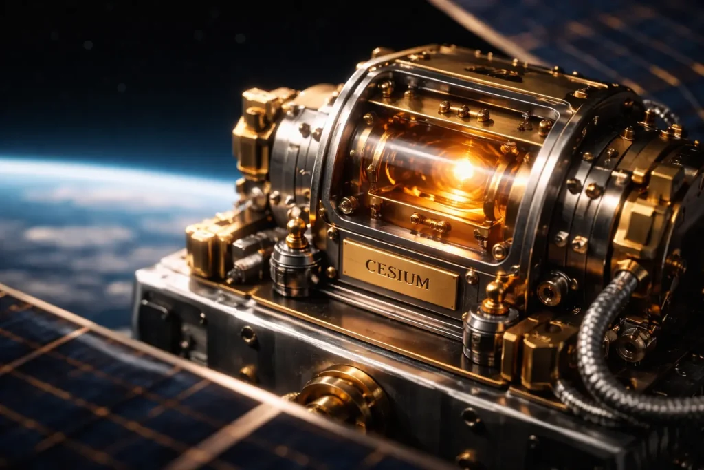
Each GPS satellite carries atomic clocks caesium or rubidium accurate to about 4 nanoseconds per day. That is four billionths of a second of drift across an entire day. The ground control segment continuously monitors each satellite’s clock and transmits correction data to keep them synchronised to within 20 nanoseconds of GPS master time.
Your phone, however, does not have an atomic clock. It has a cheap crystal oscillator, accurate enough for showing the time but catastrophically inadequate for GPS geometry. A crystal clock can drift by milliseconds per day which at GPS precision would translate to hundreds of kilometres of positional error.
This is why GPS requires a fourth satellite.
Why Four Satellites Not Three
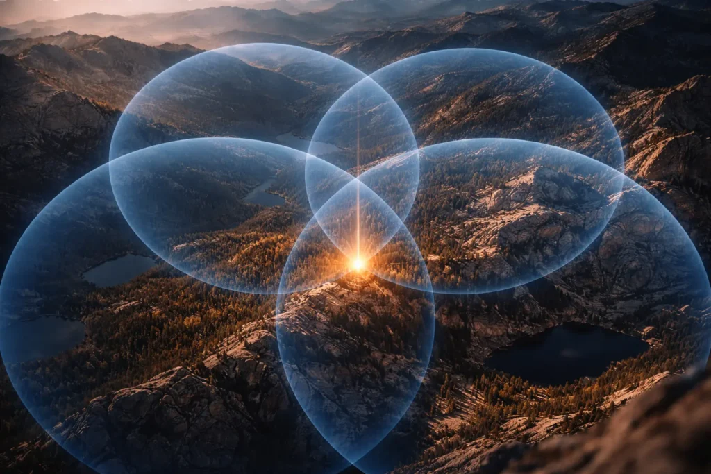
In two dimensions, three known distances from three known points would locate you precisely the intersection of three circles defines one point. In three dimensions, three satellite signals define the intersection of three spheres, which also narrows position to one point in space.
But the cheap clock in your receiver introduces an unknown error into every distance calculation. The four unknowns are therefore: your latitude, your longitude, your altitude, and your clock error.
Four satellites provide four equations. Four equations solve four unknowns simultaneously. The fourth satellite does not improve geometric precision it corrects your device’s clock, bringing it into alignment with GPS atomic time through the mathematics of the position solution itself.
This is an extraordinarily elegant engineering solution. Instead of putting a $50,000 atomic clock in every phone, the system solves for clock error as part of the position calculation, using an additional satellite. Your phone’s crystal oscillator is cheap and inaccurate but the GPS solution corrects it in real time, every time, to within nanoseconds.
Einstein’s Contribution to Your Navigation
Here is the part that belongs in physics textbooks but rarely makes it into technology journalism.
Einstein’s theories of relativity are not abstract academic physics. They are active engineering requirements inside the GPS system — and without corrections for relativistic effects, GPS would be useless within two minutes of operation.
Two effects work in opposite directions:
Special relativity says that clocks moving faster tick slower relative to a stationary observer. GPS satellites move at approximately 14,000 kilometres per hour. This causes their clocks to tick slower than ground clocks by about 7 microseconds per day.
General relativity says that clocks in weaker gravitational fields tick faster. At 20,200 kilometres altitude, gravity is weaker than at Earth’s surface. This causes satellite clocks to tick faster than ground clocks by about 45 microseconds per day.
The net effect: satellite clocks gain approximately 38 microseconds per day relative to receivers on Earth. If this were not corrected, GPS positional errors would accumulate at a rate of 10 kilometres per day the system would be useless for navigation in under two minutes.
The engineers who designed GPS knew this in advance. The solution: satellite clocks are manufactured to tick at 10.22999999543 MHz rather than the nominal 10.23 MHz deliberately running slightly slow before launch so that once in orbit, the combined relativistic effects bring them into synchronisation with ground clocks. Each receiver also performs additional real-time relativistic corrections as part of the position calculation.
The GPS in your pocket works because engineers in the 1970s correctly applied Einstein’s 1905 and 1915 theories to a satellite navigation problem. Without those corrections, precision navigation would fail within minutes of the system switching on.

What Makes the Middle of Nowhere Actually Harder
In a city, GPS is compromised by buildings, reflections, and signal interference. In true wilderness, those problems disappear but different constraints emerge.
Signal acquisition time increases in cold temperatures because the crystal oscillator in your phone drifts further from its calibrated frequency, requiring more satellite signals and more time to achieve an initial lock. In deep cold below -10°C first acquisition can take several minutes longer than in moderate temperatures.
Atmospheric delay is a persistent source of error regardless of location. GPS signals slow slightly as they pass through the ionosphere and troposphere. The effect is predictable and modelled receivers apply correction algorithms but at low satellite elevation angles, signals traverse more atmosphere and error increases. The geometry of which satellites are available above your horizon called Dilution of Precision or DOP determines how well their signals combine to fix your position. Satellites clustered in one part of the sky provide poor geometry. Satellites spread across the sky provide strong geometry and better accuracy.
In open wilderness with a clear sky view, DOP is typically excellent better than in cities. This is why your GPS is often more accurate in the backcountry than on a city street, despite the complete absence of any ground infrastructure.
The Part Your Phone Adds That Pure GPS Does Not
Modern smartphones layer additional systems on top of raw GPS to improve speed and accuracy:
A-GPS Assisted GPS downloads almanac data describing satellite positions from the internet before you leave cell range. Without A-GPS, your receiver must download this data from the satellites themselves, which takes up to 12.5 minutes from a cold start. With A-GPS data already cached, your phone acquires position in seconds. In deep wilderness with no prior connection, that almanac data ages after several days without a refresh, acquisition slows.
GLONASS, Galileo, and BeiDou Russia, Europe, and China have their own global navigation satellite constellations. Modern smartphones receive signals from all four simultaneously. More satellites in view means better geometry, faster acquisition, and redundancy when signals from any one constellation are blocked. What most people call “GPS” is technically GNSS Global Navigation Satellite System the combined use of multiple constellations.
Barometric altimeters in modern phones provide altitude independently of satellite signals, improving the three-dimensional position solution in terrain where satellites may be obscured by ridgelines.
The Bottom Line, Out in the Field
When you stand on that Wyoming ridge, your phone is catching radio signals from satellites moving at 14,000 km/h, 20,200 kilometres above you, measuring their 67-millisecond travel times with nanosecond precision, correcting for the errors in its own cheap clock using a fourth satellite, applying relativistic time corrections that Einstein predicted a century ago, and solving a four-variable simultaneous equation to place a blue dot on a map accurate to within a few metres.
None of that required a cell tower. None of it needed the internet. None of it touched any ground infrastructure between the satellite and your hand.
The sky is the infrastructure. In the middle of nowhere, that is the one thing that is everywhere.
📌 Read Also:
- How Google Maps Knows There’s a Traffic Jam Before Anyone Reports It
- How Face Unlock Works in 0.1 Seconds — The 30,000 Invisible Dots Your Phone Fires at Your Face
© AiwalaNews | Global Tech & Privacy Edition | April 2026