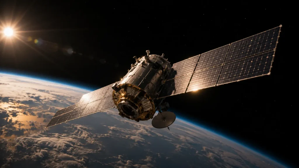
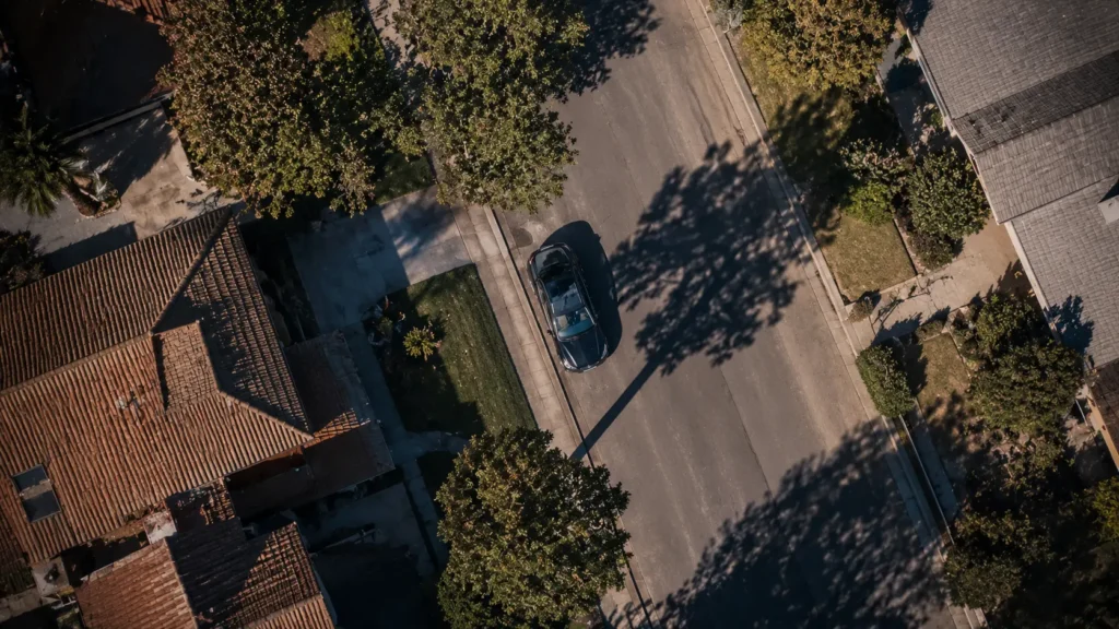
Four hundred miles above the earth, moving faster than a rifle bullet, a satellite the size of a small car is quietly doing something that sounds impossible. It is reading license plates. Not blurry outlines. Not vague shapes. Actual, legible characters, captured from a vehicle parked outside a home thousands of miles below.
This is not a rumor from a conspiracy forum. It is the reality of modern satellite imaging, and the companies building it are not hiding what they can do. They are advertising it.
From Blurry Dots to Sharp Detail
A decade ago, commercial satellite imagery was good enough to spot a building or a highway, but faces and text were far beyond reach. That changed quickly. Companies like Maxar Technologies, Planet Labs, and BlackSky have pushed resolution capabilities to under thirty centimeters per pixel, sharp enough to distinguish a sedan from a pickup truck, and in some cases, sharp enough to make out a plate number under ideal lighting.
The jump did not come from one breakthrough. It came from better optics, larger sensor arrays, and machine learning systems that sharpen raw images after capture. A slightly blurry photo taken from orbit can now be reconstructed by software into something startlingly crisp, filling in detail the camera itself never fully captured.
Governments were the first customers. Now private companies, insurance firms, and even journalists quietly purchase access to the same imagery once reserved for defense agencies.
Why This Exists in the First Place
None of this technology was built to spy on ordinary citizens. It emerged from military reconnaissance programs during the Cold War, when the ability to photograph enemy territory from orbit was considered a matter of national survival. The first spy satellites, like the American Corona program in the 1960s, could barely make out large structures.
Modern optical satellites descend from that same lineage, but the customer base has changed entirely. Agricultural companies use satellite imagery to track crop health across entire countries. Insurance companies use it to assess storm damage without sending a single adjuster into the field. Urban planners use it to monitor construction progress in cities expanding faster than paperwork can keep up.
The license plate detail is not the goal. It is simply what happens when resolution gets good enough to do everything else well too.
The Uncomfortable Side of Clarity
Here is where the story gets personal. If a satellite can read a plate, it can also track a pattern. A vehicle that appears outside the same house every Tuesday night. A car parked outside a clinic. A truck arriving at a private residence during hours it normally would not.
None of this requires a warrant, because most of this imagery is captured over what is legally considered public space, from an altitude far outside the reach of ordinary privacy protections. In many countries, satellite imagery exists in a legal gray area, treated less like surveillance and more like an aerial photograph anyone could technically take with enough equipment.
Journalists have already used commercial satellite data to expose undisclosed military movements, illegal fishing fleets, and even the construction of undisclosed detention facilities. The same tool that protects public accountability can, in different hands, quietly document private lives.
Who Is Actually Buying This
The customer list for high resolution satellite imagery has grown far beyond intelligence agencies. Real estate firms use it to evaluate land before a purchase. Financial analysts use retail parking lot images to estimate store traffic before quarterly earnings are even released, a technique now common enough that hedge funds openly discuss it. Security firms use it to monitor remote industrial sites without deploying staff on location.
Access is no longer exclusive. Some providers sell historical archive images to the public for a modest fee, meaning a curious individual could, with enough effort, pull up a satellite photo of nearly any address on earth from a specific date in the recent past.
What Comes Next
Resolution is expected to keep improving. Engineers working in the field have suggested that within the next decade, commercial satellites could approach resolution levels once thought to be exclusively military capability, according to public statements from aerospace researchers tracking the industry’s trajectory. Combined with artificial intelligence that can automatically flag vehicles, patterns, or even individual behavior across thousands of images per day, the technology is moving from passive photography toward something closer to constant automated observation.
Regulation has not kept pace. Most existing space and privacy laws were written decades before this level of clarity was possible, leaving policymakers scrambling to define rules for a technology that already exists and is already being sold.
A Different Kind of Watching
There is something quietly unsettling about a piece of machinery moving faster than sound, high enough to see the curve of the planet, yet precise enough to read a small strip of painted metal on a car door. It represents a strange contradiction of modern life: technology built for national defense, now available to anyone with a business account and a reasonable budget.
The sky was once considered private simply because it was unreachable. That assumption no longer holds.
Read also this: https://aiwalanews.com/how-satellites-track-global-movement
Read also this: https://aiwalanews.com/the-hidden-world-of-aerial-surveillance
© AiwalaNews | Global Tech & Privacy Edition | April 2026
